

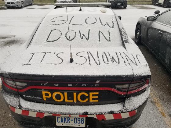
Environment Canada says the region could receive up to 5cms of snow, it'll change to rain
The Niagara region expected to be spared the brunt of a winter storm moving through Ontario.
Environment Canada has put much of the central part of the province under a storm watch for today, lasting to tomorrow morning.
Sault Ste. Marie and Sudbury could get between 15 and 30 centimetres starting this afternoon, and Ottawa a bit less.
Toronto and Hamilton could get up 10 centimetres of snow and some rain, while Niagara is looking at roughly 5cms, and that'll change to about 30mm of rainfall in this region.
Further west, portions of British Columbia are anticipating up to 50cms of snow.
US residents are expecting a "highly impactful" winter storm to drop blizzard conditions, dumping as much as 20 to 30 centimetres or more of snow.
The National Weather Service in Maryland says closures are expected, and whiteout conditions in Nebraska have closed a long stretch of Interstate 80.
Roughly a foot of snow fell Sunday on parts of Pennsylvania, New York state and portions of New England.
 Man Charged with Construction Theft Totaling $17K
 Parking Rate Increase at Niagara Health Sites
 West Lincoln Municipal Fee Grant Program
 Niagara Health Completes CT Replacement Project
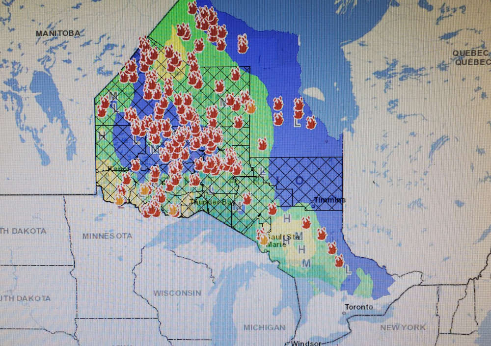 Many Wildfires Still Out of Control
 Fort Erie Releases Municipal Council Term in Review Report
 OPP Spearhead Massive Campaign Against Online Child Exploitation
 Niagara Health Offering Free Hepatitis C Screening